Words That Start With the Letter S
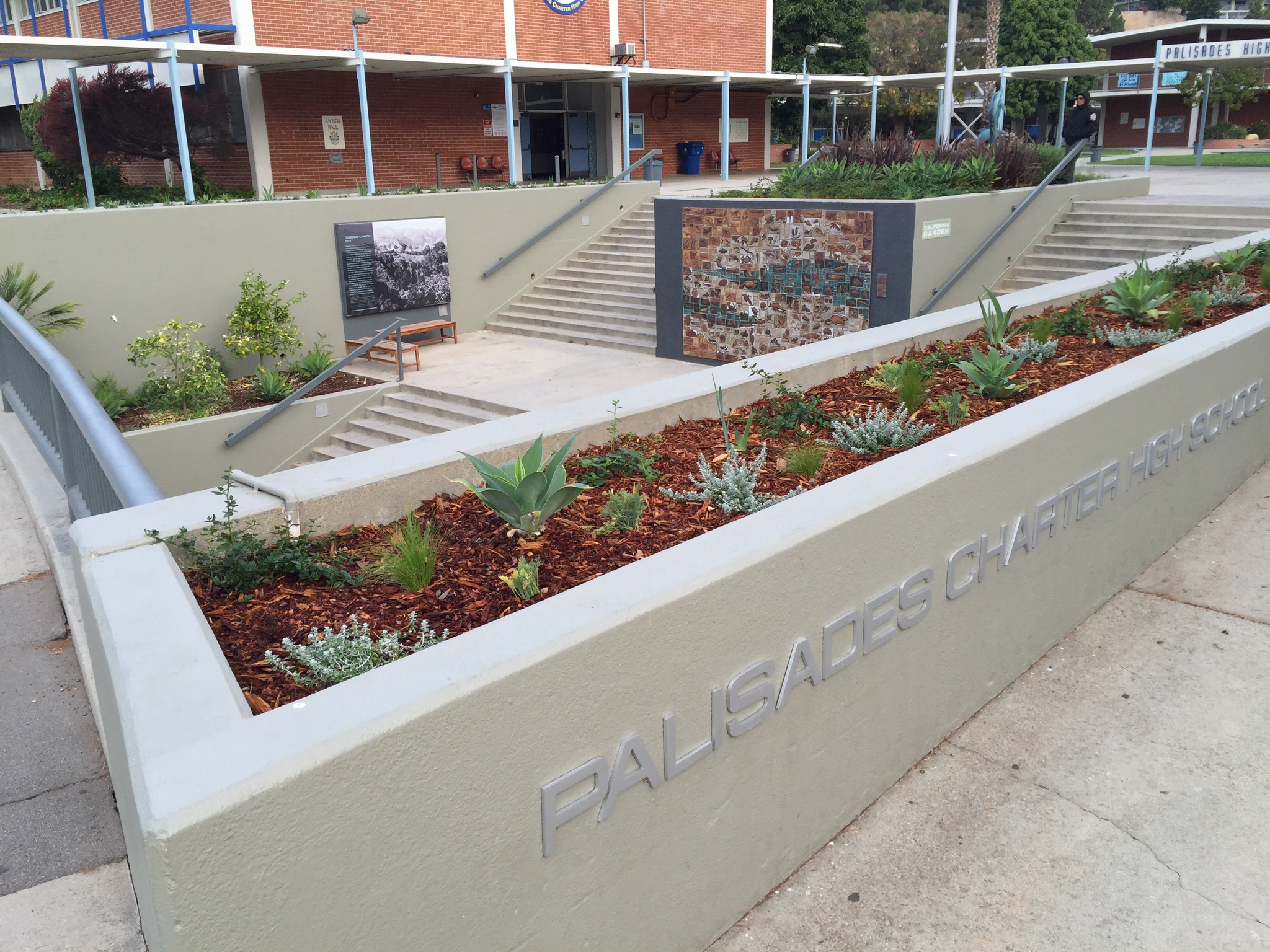
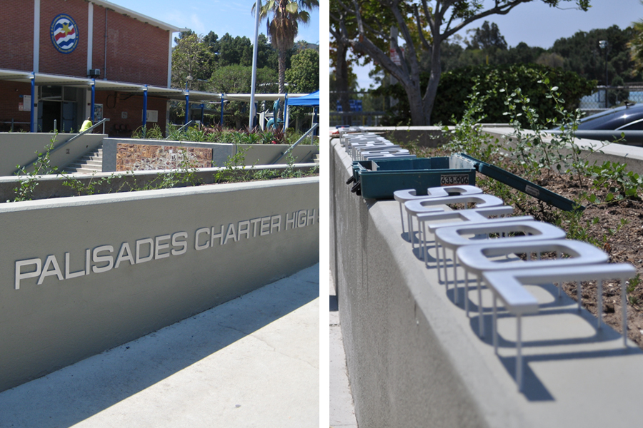
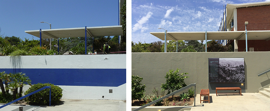
SCHOOL is in session. We recently completed a gateway garden project for Palisades Charter High School. It never ceases to amaze me, when done well, how signs and graphics just give a place or space that finishing touch. They seem to contribute, at least in this case, to that first impression of what lies beyond the front gate or they even share with you a story of something long lost here. And after all that time we spent looking at spacing and scale, at placement and visibility, at color and finish, at message and narrative, at all those technical and not so technical things we call design, at the end of the day it is all about the story. Most often we look for that story that has never been told or the one that is still palpable but has not been told in so long that it starts to fade before our eyes. Here is a bit of that story:
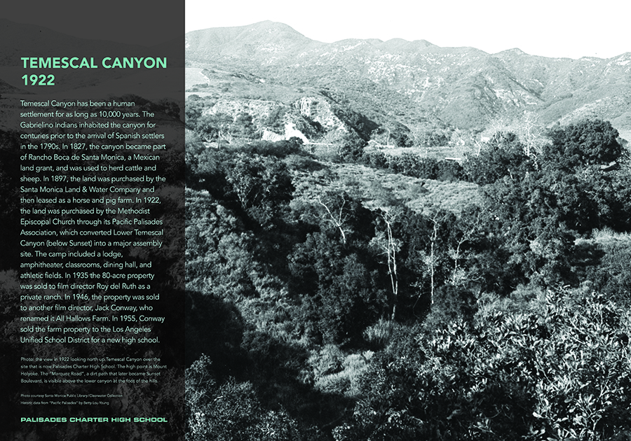
TEMESCAL CANYON
1922
Temescal Canyon has been a human settlement for as long as 10,000 years. The Gabrielino Indians inhabited the canyon for centuries prior to the arrival of Spanish settlers in the 1790s. In 1827, the canyon became part of Rancho Boca de Santa Monica, a Mexican land grant, and was used to herd cattle and sheep. In 1897, the land was purchased by the Santa Monica Land & Water Company and then leased as a horse and pig farm. In 1922, the land was purchased by the Methodist Episcopal Church through its Pacific Palisades Association, which converted Lower Temescal Canyon (below Sunset) into a major assembly site. The camp included a lodge, amphitheater, classrooms, dining hall, and athletic fields. In 1935 the 80-acre property was sold to film director Roy del Ruth as a private ranch. In 1946, the property was sold to another film director, Jack Conway, who renamed it All Hallows Farm. In 1955, Conway sold the farm property to the Los Angeles Unified School District for a new high school.
B&W Historic Photo Below: the view in 1922 looking north up Temescal Canyon over the site that is now Palisades Charter High School. The high point is Mount Holyoke. The “Marquez Road”, a dirt path that later became Sunset Boulevard, is visible above the lower canyon at the foot of the hills.
Photo courtesy Santa Monica Public Library, Clearwater Collection
Historic data from “Pacific Palisades” by Betty Lou Young


